Hiking tips
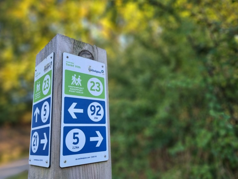
For our hiking tips, just follow the respective hiking nodes.
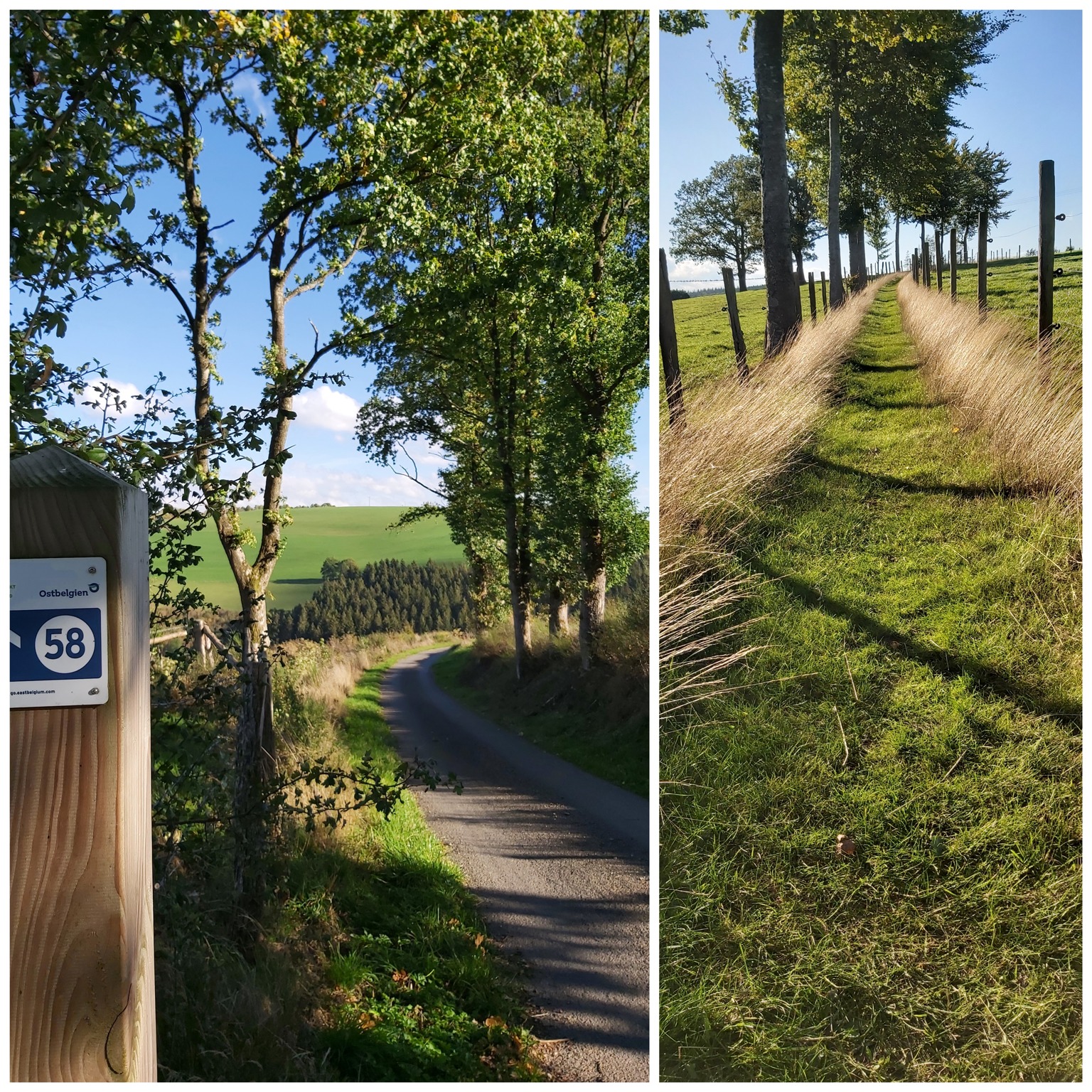
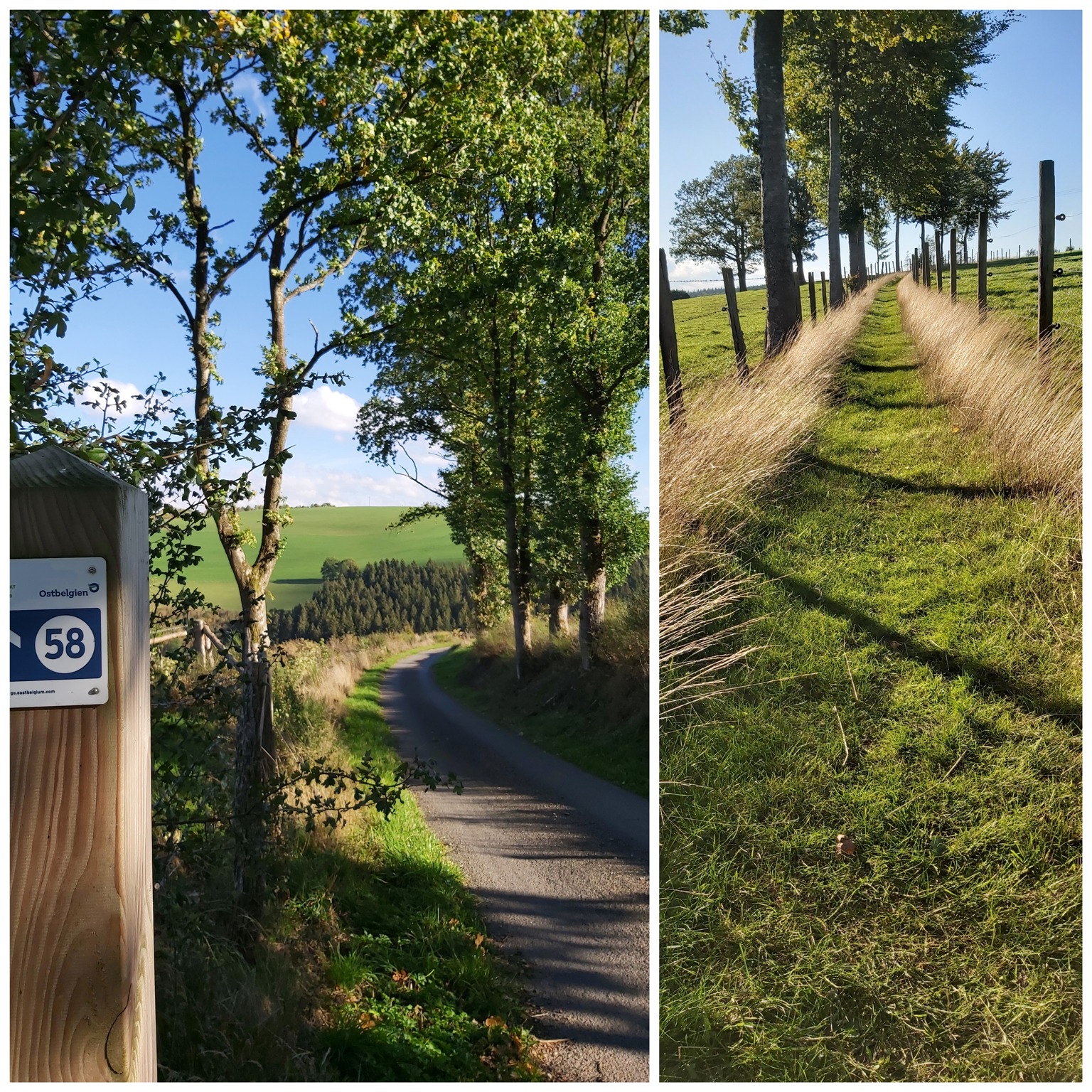
These nodes (junctions) are the points where the paths intersect. Each node has a number. At crossroads and forks between junctions there are posts with signs indicating the direction and the number of the junction --> green number = where you are / blue number = where you should go.
You can use the NodeMapp Hike App or plan your own route with a map (available at Tourist Info).
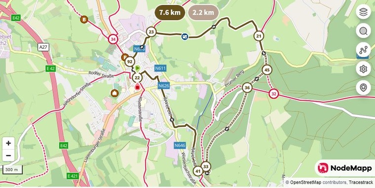
1) St. Vith - "Volmersberg": 7,6 km
start/finish: Town Hall Square St.Vith
hiking nodes: 22-92-23-21-45-36-33-41-22
This very popular hike takes you to the nearby St. Vith forest.
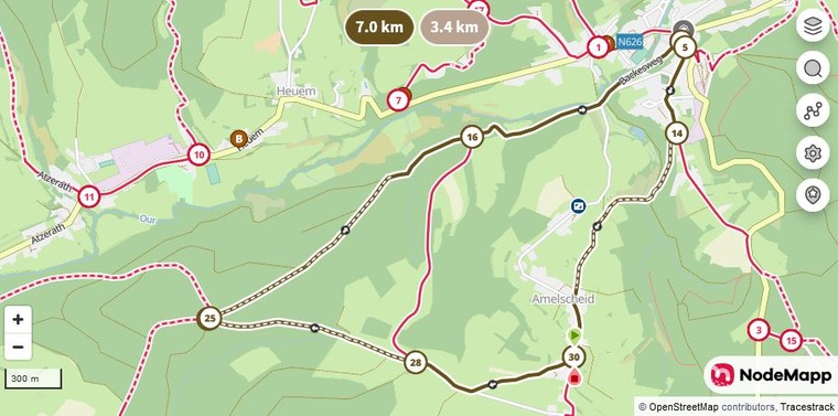
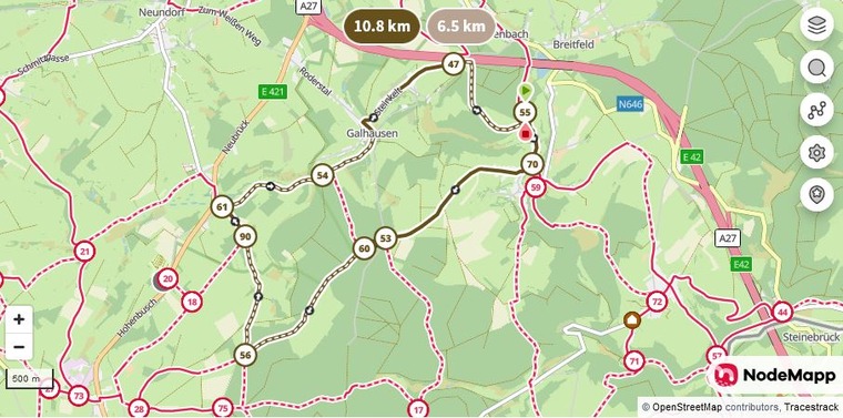
5) Breitfeld: 10,8 km
start/finish: RAVeL between Breitfeld and Neidingen
hiking nodes: 55-70-53-60-56-90-61-54-47-55
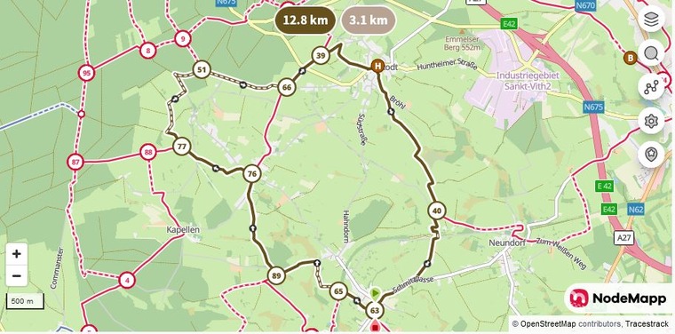
6) Crombach: 12,8 km
start/finish: near the church
hiking nodes: 63-65-89-76-77-51-66-39-40-63
suitable for prams, except for approx. 100 m off-road feeling
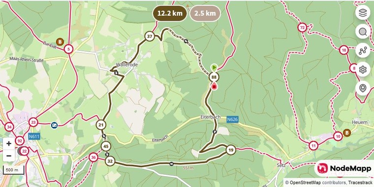
7) Eiterbach: 12,2 km
start/finish: at the crossroad, then in direction op node nr. 88
hiking nodes: 88-37-21-45-32-19-88
nature meets culture - suitable for prams
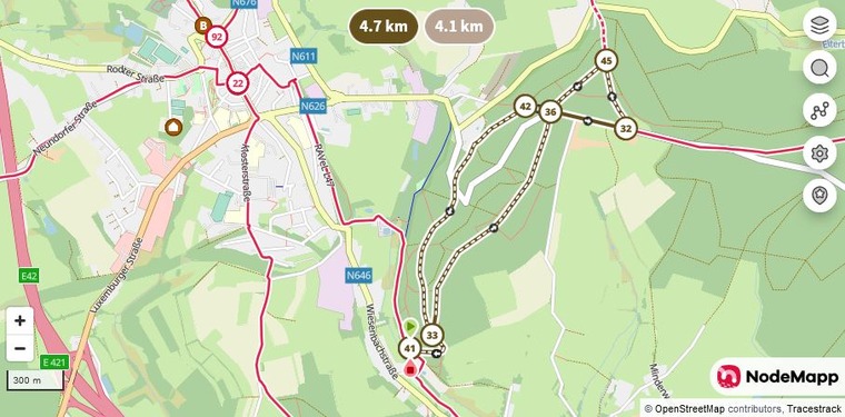
8) St. Vith forest: 4,7 km
start/finish: RAVeL "Alte Mühle"/Outdoor pool, in direction St. Vith
hiking nodes: 41-33-36-32-45-36-42-33-41
Not suitable for prams, occasionally muddy path.
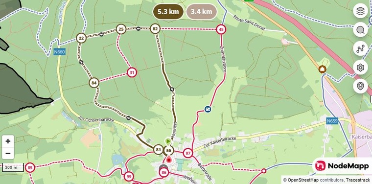
9) Recht: 5,3 km
start/finish: corner of Dorfstraße/Zur Ochsenbaracke
hiking nodes: 56-82-25-22-84-81-56
Suitable for prams - steep ascent with a great view of Recht
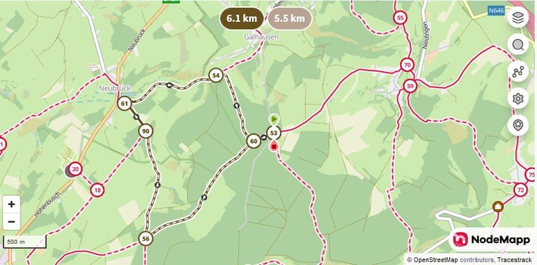
10) Galhausen: 6,1 km
start/finish: Braunlaufweg, node 53
hiking nodes: 53-60-54-61-90-56-60-53
not suitable for prams
https://www.nodemapp.com/hike/route/ag9xbq
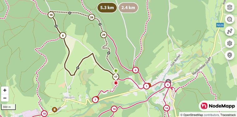
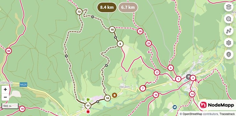
11) Heuem: 5,3 km
start/finish: node 17, with parking
hiking nodes: 17-29-26-18-8-17
not suitable for prams, as the loop between KP17 and KP29 runs along a gravel path:
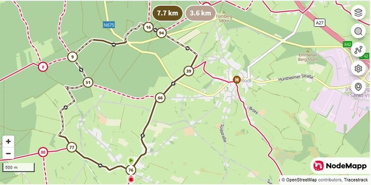
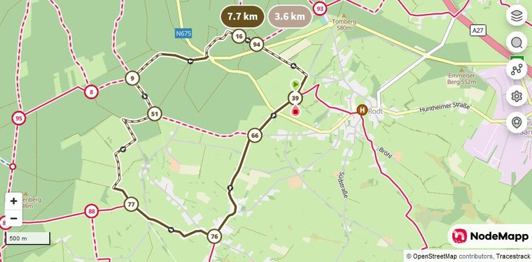
12) Hinderhausen: 7,7 km
start/finish: node 76, at the church, with parking
hiking nodes: 76-77-51-9-16-94-39-66-76
panoramic view guaranteed - suitable for prams with large tires.
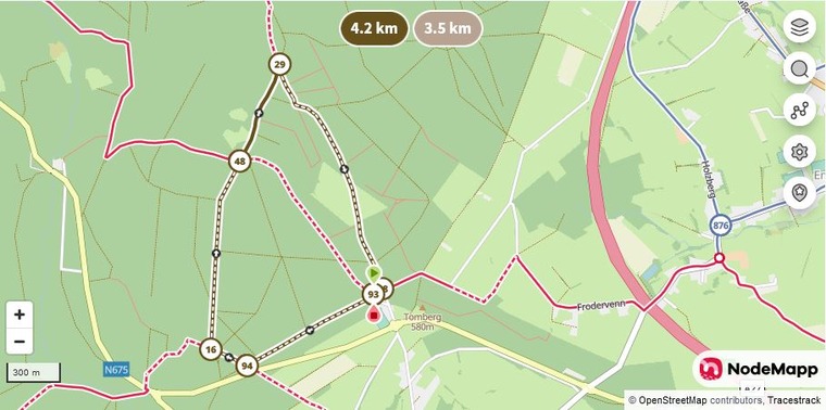
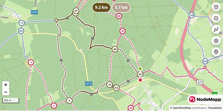
13) Rodt: 4,2 km
start/finish: parking "Beer museum"
hiking nodes: 93-94-16-48-29-38-93
suitable for prams
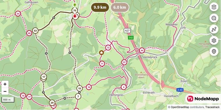
14) Neidingen: 9,9 km
start/finish: center of the village
hiking nodes: 70-46-59-15-07-29-55-17-53-70
not suitable for prams
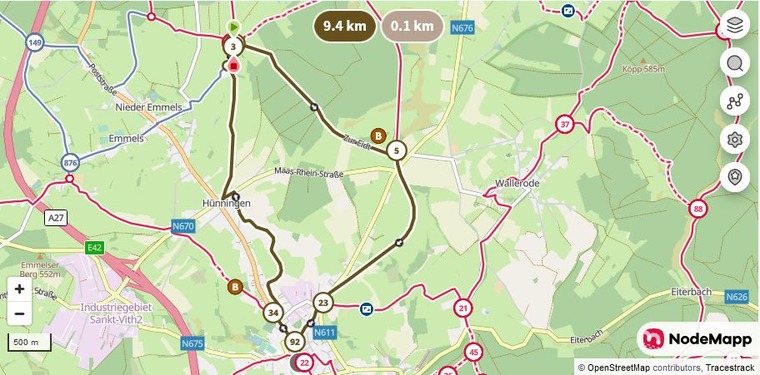
15) Hünningen: 9,4 km
start/finish: traffic circle in the direction of Maas-Rhein-Straße, towards junction 3, with parking facilities
hiking nodes: 3-4-5-23-92-34-3
suitable for prams in dry weather
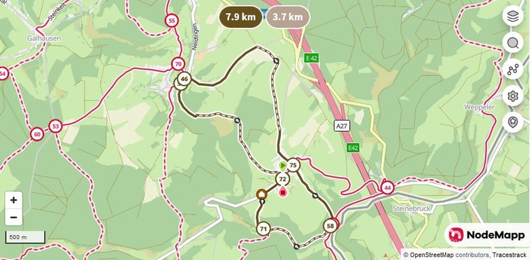
16) Lommersweiler: 7,8 km
start/finish: Parkplatz an der Kirche
hiking nodes: 72-59-46-75-58-71-72
not suitable for prams
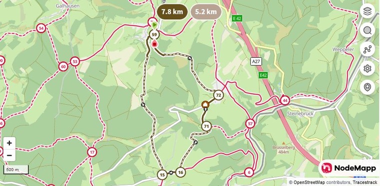
17) Neidingen: 7,8 km
start/finish: center of the village, near St. Anthony's Chapel, with parking facilities
hiking nodes: 59-15-16-71-72-59
not suitable for prams - great panorama - best walked in dry weather
There are a few meters in altitude to conquer, but it's worth it.
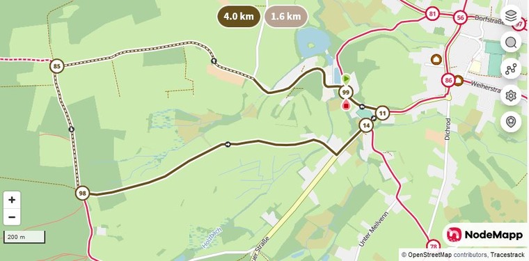
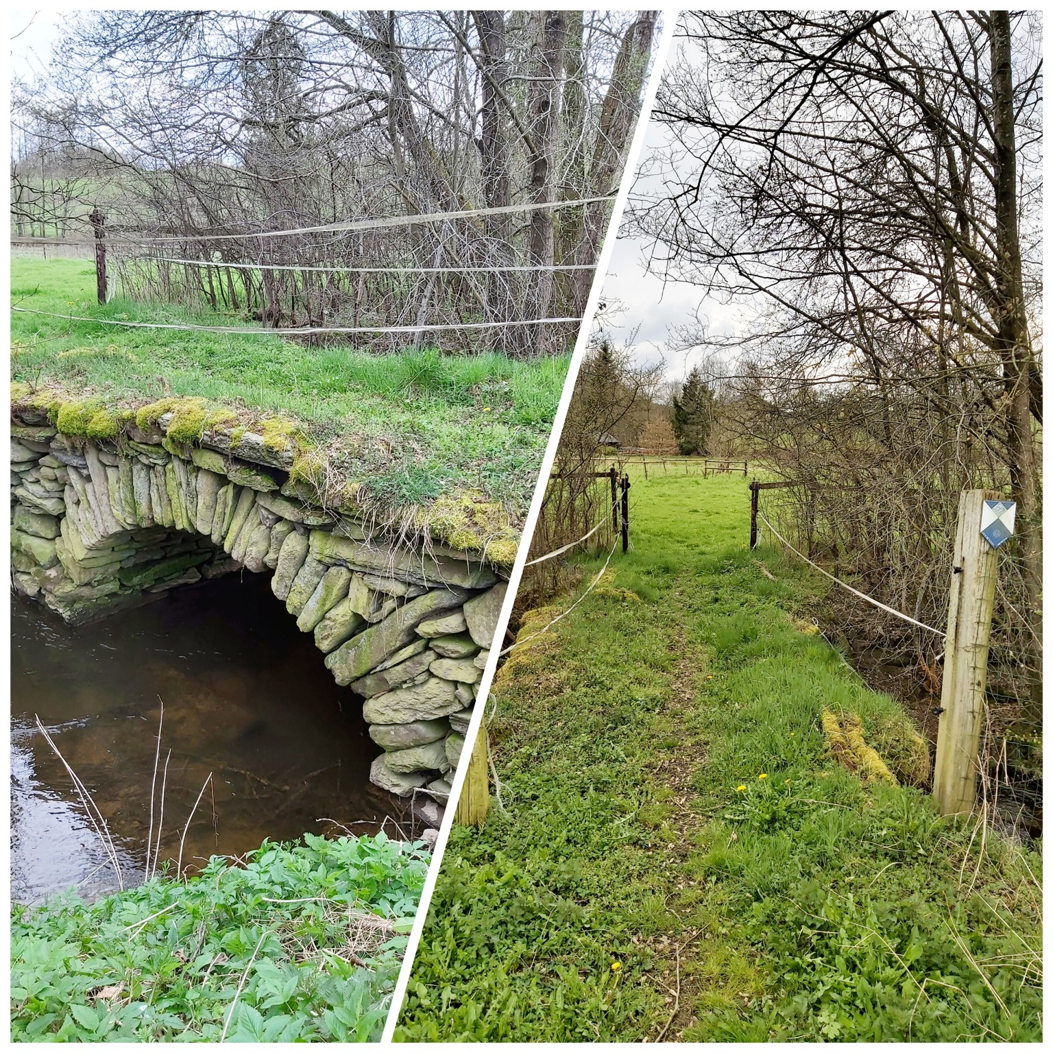
18) Recht - "Sheep's bridge": 4 km
start/finish: parking near junction 99 "Rechter Weiher"
hiking nodes: 99-85-98-14-11-99
suitable for prams - great panorama - between KP 11 + KP 99: the "sheep's bridge”
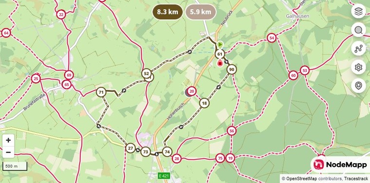
19) Neubrück: 8,3 km
start/finish: node 61, at the "Forellenhof", where there are also parking spaces
hiking nodes: 61-90-18-74-73-27-71-21-52-61
suitable for prams (if the baby carriage has large tires)
easy tour without many meters in altitude, with many beautiful views
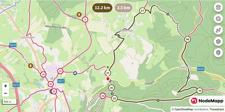
20) Wallerode: 12,2 km
start/finish: between nodes 45 and 21 - on the “Prümer Berg” along the road towards Eiterbach/Schönberg
hiking nodes: 21-37-88-19-32-45-21
suitable for prams, even if it can be a little bumpy
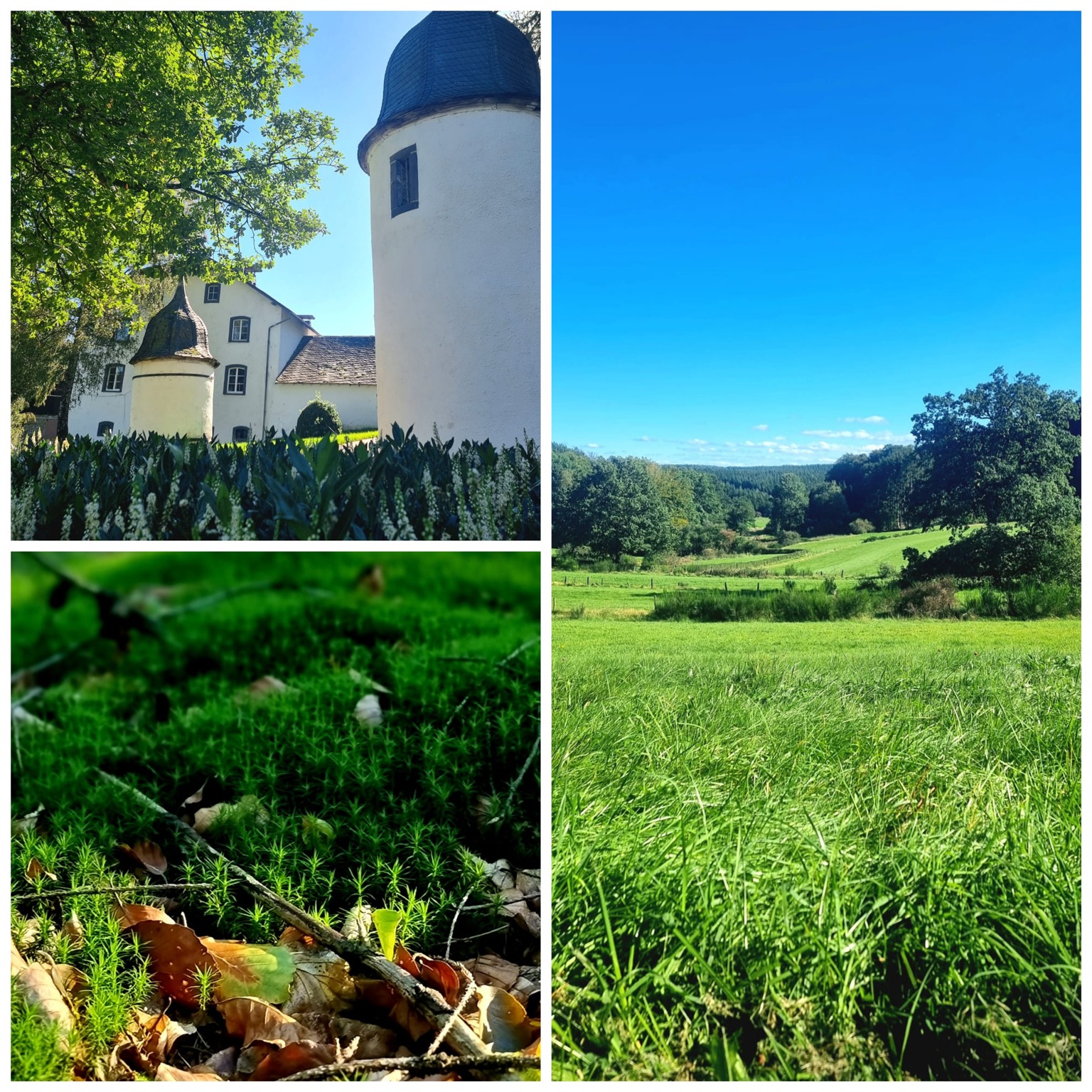
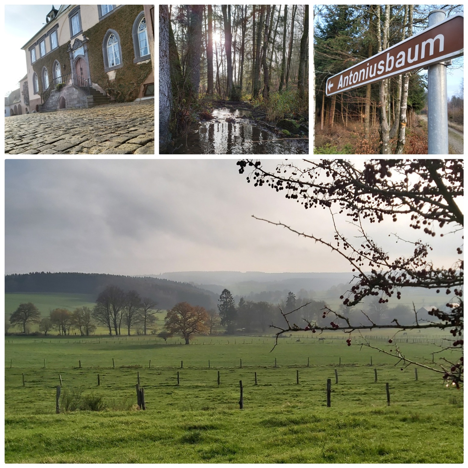
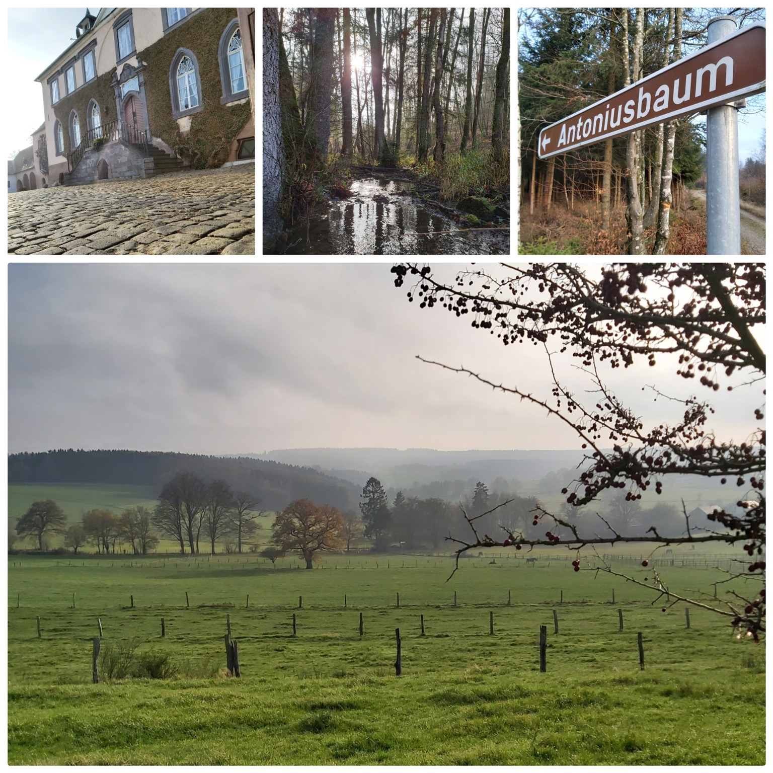
Discover the listed 'Schloss Wallerode' castle and the Antonius tree, which is a protected landscape.